
Santa Barbara topographic map
Interactive map
Click on the map to display elevation.
About this map
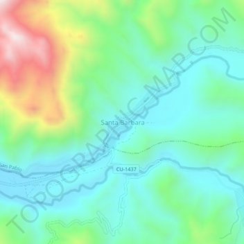
Name: Santa Barbara topographic map, elevation, terrain.
Location: Santa Barbara, Canchis, Cuzco, Perú (-14.18886 -71.21941 -14.14886 -71.17941)
Average elevation: 4,114 m
Minimum elevation: 3,914 m
Maximum elevation: 4,658 m