
West Midlands topographic map
Interactive map
Click on the map to display elevation.
About this map
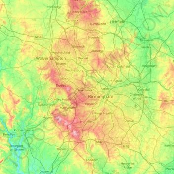
Name: West Midlands topographic map, elevation, terrain.
Average elevation: 113 m
Minimum elevation: 15 m
Maximum elevation: 307 m
Other topographic maps
Click on a map to view its topography, its elevation and its terrain.
Warwick
Reino Unido > Inglaterra > Warwickshire
Warwick, Warwickshire, Inglaterra, Reino Unido
Average elevation: 87 m