
Verleumont topographic map
Interactive map
Click on the map to display elevation.
About this map
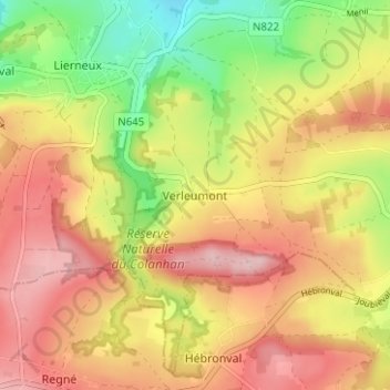
Name: Verleumont topographic map, elevation, terrain.
Location: Verleumont, Lierneux, Verviers, Luik, Wallonië, 4990, België (50.25242 5.79097 50.29242 5.83097)
Average elevation: 474 m
Minimum elevation: 365 m
Maximum elevation: 563 m