
Distrito IV topographic map
Interactive map
Click on the map to display elevation.
About this map
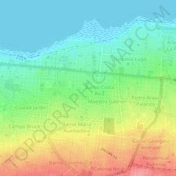
Name: Distrito IV topographic map, elevation, terrain.
Location: Distrito IV, Managua, Nicaragua (12.13043 -86.26493 12.16629 -86.22266)
Average elevation: 72 m
Minimum elevation: 38 m
Maximum elevation: 128 m
Other topographic maps
Click on a map to view its topography, its elevation and its terrain.