
Thank you for supporting this site ❤️
Make a donation
Make a donation
La Mesa topographic map
Click on the map to display elevation.
Thank you for supporting this site ❤️
Make a donation
Make a donation
About this map
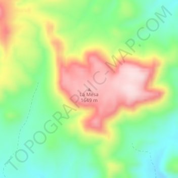
Name: La Mesa topographic map, elevation, terrain.
Location: La Mesa, Presidio County, Texas, United States (29.94067 -104.38135 29.94077 -104.38125)
Average elevation: 1,502 m
Minimum elevation: 1,377 m
Maximum elevation: 1,666 m
Thank you for supporting this site ❤️
Make a donation
Make a donation