
St. Johann bei Herberstein topographic map
Interactive map
Click on the map to display elevation.
About this map
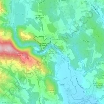
Name: St. Johann bei Herberstein topographic map, elevation, terrain.
Average elevation: 426 m
Minimum elevation: 348 m
Maximum elevation: 658 m