
Thank you for supporting this site ❤️
Make a donation
Make a donation
Bunnik topographic map
Click on the map to display elevation.
Thank you for supporting this site ❤️
Make a donation
Make a donation
About this map
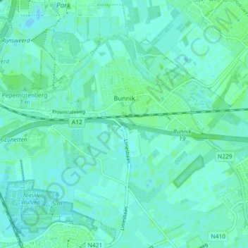
Name: Bunnik topographic map, elevation, terrain.
Location: Bunnik, Utrecht, Nederland (52.04304 5.15303 52.08056 5.22502)
Average elevation: 3 m
Minimum elevation: -2 m
Maximum elevation: 7 m
Thank you for supporting this site ❤️
Make a donation
Make a donation