
Ernstberg topographic map
Interactive map
Click on the map to display elevation.
About this map
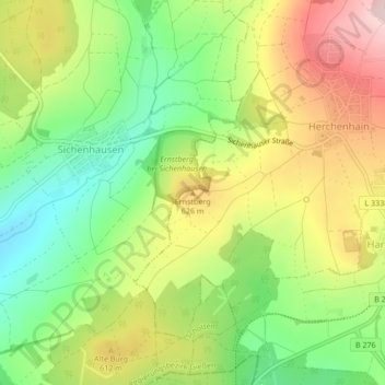
Name: Ernstberg topographic map, elevation, terrain.
Location: Ernstberg, Grebenhain, Vogelsbergkreis, Hessen, Duitsland (50.47491 9.25241 50.47501 9.25251)
Average elevation: 572 m
Minimum elevation: 452 m
Maximum elevation: 717 m