
Hosur topographic map
Interactive map
Click on the map to display elevation.
About this map
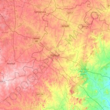
Name: Hosur topographic map, elevation, terrain.
Location: Hosur, Krishnagiri, Tamil Nadu, 635109, India (12.57288 77.67095 12.89288 77.99095)
Average elevation: 859 m
Minimum elevation: 695 m
Maximum elevation: 982 m