
Rijkevorsel topographic map
Interactive map
Click on the map to display elevation.
About this map
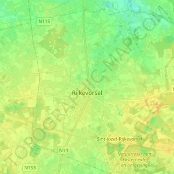
Name: Rijkevorsel topographic map, elevation, terrain.
Location: Rijkevorsel, Turnhout, Anvers, Flandre, 2310, Belgique (51.31260 4.71726 51.39266 4.82781)
Average elevation: 24 m
Minimum elevation: 12 m
Maximum elevation: 33 m