
Eastville topographic map
Interactive map
Click on the map to display elevation.
About this map
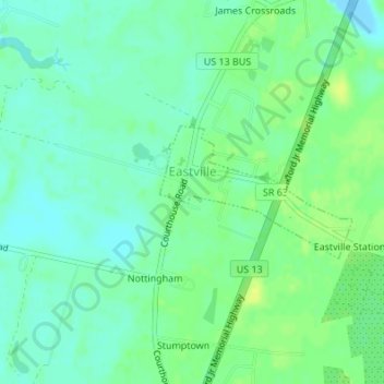
Name: Eastville topographic map, elevation, terrain.
Location: Eastville, Northampton County, Virginia, USA (37.34650 -75.94869 37.35584 -75.93159)
Average elevation: 8 m
Minimum elevation: -13 m
Maximum elevation: 17 m