
Geertruidenberg topographic map
Interactive map
Click on the map to display elevation.
About this map
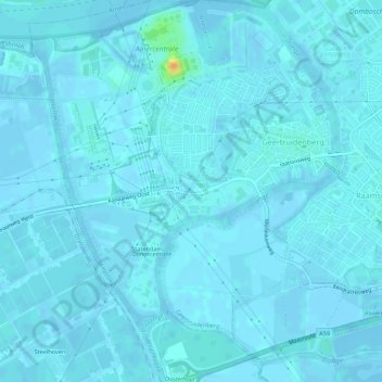
Name: Geertruidenberg topographic map, elevation, terrain.
Location: Geertruidenberg, Nordbrabant, Niederlande (51.67965 4.82361 51.71326 4.86754)
Average elevation: 2 m
Minimum elevation: -4 m
Maximum elevation: 33 m