
Eugies topographic map
Interactive map
Click on the map to display elevation.
About this map
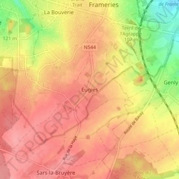
Name: Eugies topographic map, elevation, terrain.
Location: Eugies, Frameries, Mons, Hainaut, Wallonie, 7080, Belgique (50.37067 3.86837 50.41067 3.90837)
Average elevation: 116 m
Minimum elevation: 56 m
Maximum elevation: 148 m
Other topographic maps
Click on a map to view its topography, its elevation and its terrain.
La Bouverie
Belgique > Hainaut > Mons > Frameries
La Bouverie, Frameries, Mons, Hainaut, Wallonie, 7080, Belgique
Average elevation: 96 m