
Waze topographic map
Interactive map
Click on the map to display elevation.
About this map
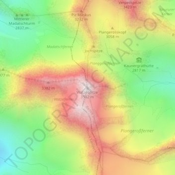
Name: Waze topographic map, elevation, terrain.
Location: Waze, St. Leonhard im Pitztal, Imst, Tirol, Oostenrijk (46.98962 10.79537 46.98972 10.79547)
Average elevation: 2,932 m
Minimum elevation: 2,418 m
Maximum elevation: 3,490 m