
San José del Potrero topographic map
Interactive map
Click on the map to display elevation.
About this map
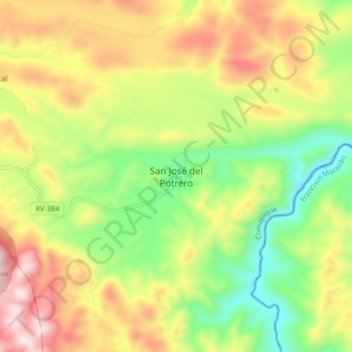
Name: San José del Potrero topographic map, elevation, terrain.
Location: San José del Potrero, Comayagua, Honduras (14.79902 -87.32419 14.87902 -87.24419)
Average elevation: 769 m
Minimum elevation: 464 m
Maximum elevation: 1,139 m