
Alturas topographic map
Interactive map
Click on the map to display elevation.
About this map
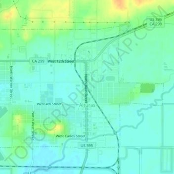
Name: Alturas topographic map, elevation, terrain.
Average elevation: 1,337 m
Minimum elevation: 1,327 m
Maximum elevation: 1,358 m
Alturas is located on the Pit River, east of the center of Modoc County, at an elevation of 4370 feet (1332 m). As the county seat, the town is a home to regional government offices, including a California Highway Patrol office and a state Department of Motor Vehicles office.