
Al Khor topographic map
Interactive map
Click on the map to display elevation.
About this map
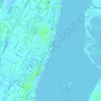
Name: Al Khor topographic map, elevation, terrain.
Location: Al Khor, Umm al-Quwain, United Arab Emirates (25.54723 55.55835 25.57056 55.56732)
Average elevation: 1 m
Minimum elevation: -2 m
Maximum elevation: 10 m
Other topographic maps
Click on a map to view its topography, its elevation and its terrain.
Falaj al Moalla
United Arab Emirates > Umm al-Quwain > Falaj al Moalla
Falaj al Moalla, Umm al-Quwain, United Arab Emirates
Average elevation: 103 m