
Glasholz topographic map
Interactive map
Click on the map to display elevation.
About this map
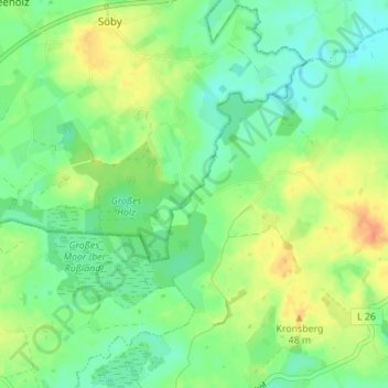
Name: Glasholz topographic map, elevation, terrain.
Average elevation: 27 m
Minimum elevation: 12 m
Maximum elevation: 47 m
Other topographic maps
Click on a map to view its topography, its elevation and its terrain.
Ludwigsburg
Deutschland > Schleswig-Holstein > Rendsburg-Eckernförde > Waabs
Ludwigsburg, Waabs, Schlei-Ostsee, Rendsburg-Eckernförde, Schleswig-Holstein, 24369, Deutschland
Average elevation: 17 m