
Thank you for supporting this site ❤️
Make a donation
Make a donation
Use Ikot Usuan topographic map
Click on the map to display elevation.
Thank you for supporting this site ❤️
Make a donation
Make a donation
About this map
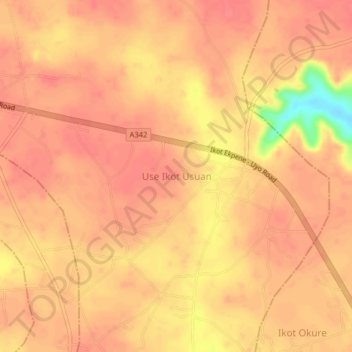
Name: Use Ikot Usuan topographic map, elevation, terrain.
Location: Use Ikot Usuan, Ikono, Akwa Ibom State, Nigeria (5.08000 7.81333 5.12000 7.85333)
Average elevation: 78 m
Minimum elevation: 29 m
Maximum elevation: 90 m
Thank you for supporting this site ❤️
Make a donation
Make a donation