
Thank you for supporting this site ❤️
Make a donation
Make a donation
Gmain topographic map
Click on the map to display elevation.
Thank you for supporting this site ❤️
Make a donation
Make a donation
About this map
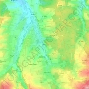
Name: Gmain topographic map, elevation, terrain.
Location: Gmain, Isen, Landkreis Erding, Bayern, 84424, Deutschland (48.18546 12.04554 48.22546 12.08554)
Average elevation: 541 m
Minimum elevation: 488 m
Maximum elevation: 613 m
Thank you for supporting this site ❤️
Make a donation
Make a donation