
Thank you for supporting this site ❤️
Make a donation
Make a donation
Bridger topographic map
Click on the map to display elevation.
Thank you for supporting this site ❤️
Make a donation
Make a donation
About this map
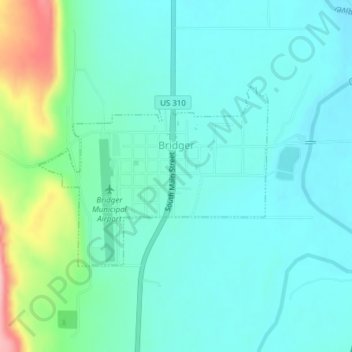
Name: Bridger topographic map, elevation, terrain.
Location: Bridger, Carbon County, Montana, 59014, United States (45.28648 -108.92881 45.30026 -108.90375)
Average elevation: 1,130 m
Minimum elevation: 1,098 m
Maximum elevation: 1,249 m
Thank you for supporting this site ❤️
Make a donation
Make a donation
Other topographic maps
Click on a map to view its topography, its elevation and its terrain.