
Thank you for supporting this site ❤️
Make a donation
Make a donation
Source des Artigues topographic map
Click on the map to display elevation.
Thank you for supporting this site ❤️
Make a donation
Make a donation
About this map
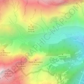
Name: Source des Artigues topographic map, elevation, terrain.
Average elevation: 1,912 m
Minimum elevation: 1,374 m
Maximum elevation: 2,574 m
Thank you for supporting this site ❤️
Make a donation
Make a donation
Other topographic maps
Click on a map to view its topography, its elevation and its terrain.
Refuge du Balaïtous-Ledormeur
France > Occitanie > Hautes-Pyrénées > Arrens-Marsous
Average elevation: 2,154 m