
Kel. Mekarjaya topographic map
Interactive map
Click on the map to display elevation.
About this map
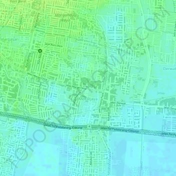
Name: Kel. Mekarjaya topographic map, elevation, terrain.
Location: Mekarjaya, Rancasari, Kel. Mekarjaya, West Java, Indonesia (-6.96812 107.65888 -6.95514 107.67767)
Average elevation: 667 m
Minimum elevation: 661 m
Maximum elevation: 675 m
Other topographic maps
Click on a map to view its topography, its elevation and its terrain.
Bandung
Indonesia > West Java > Bandung
Bandung, the capital of West Java province, located about 180 kilometres (110 mi) southeast of Jakarta, is the third-largest city in Indonesia. Its elevation is 768 metres (2,520 ft) above sea level and is surrounded by up to 2,400 metres (7,900 feet) high Late Tertiary and Quaternary volcanic terrain. The 400…
Average elevation: 879 m
Bogor
The city is situated in the western part of Java island, about 53 km south of the capital Jakarta and 85 km northwest of Bandung, the administrative center of West Java Province. Bogor spreads over a basin near volcanoes Salak, which peaks at about 12 km south, and Mount Gede whose top is 22–25 km south-east…
Average elevation: 442 m