
Thank you for supporting this site ❤️
Make a donation
Make a donation
Skorin topographic map
Click on the map to display elevation.
Thank you for supporting this site ❤️
Make a donation
Make a donation
About this map
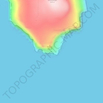
Name: Skorin topographic map, elevation, terrain.
Location: Skorin, Dalur, Sandoyar sýsla, 235, Færøerne (61.75386 -6.67988 61.75396 -6.67978)
Average elevation: 64 m
Minimum elevation: 0 m
Maximum elevation: 348 m
Thank you for supporting this site ❤️
Make a donation
Make a donation