
Thank you for supporting this site ❤️
Make a donation
Make a donation
Sandfelli topographic map
Click on the map to display elevation.
Thank you for supporting this site ❤️
Make a donation
Make a donation
About this map
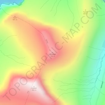
Name: Sandfelli topographic map, elevation, terrain.
Location: Sandfelli, Gjov, Eysturoyar sýsla, 476, Færøerne (62.31941 -6.98846 62.31951 -6.98836)
Average elevation: 435 m
Minimum elevation: 0 m
Maximum elevation: 844 m
Thank you for supporting this site ❤️
Make a donation
Make a donation