
Thank you for supporting this site ❤️
Make a donation
Make a donation
Amis topographic map
Click on the map to display elevation.
Thank you for supporting this site ❤️
Make a donation
Make a donation
About this map
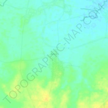
Name: Amis topographic map, elevation, terrain.
Location: Amis, Indramayu, West Java, Java, 45262, Indonesia (-6.53616 108.15222 -6.49616 108.19222)
Average elevation: 17 m
Minimum elevation: 9 m
Maximum elevation: 31 m
Thank you for supporting this site ❤️
Make a donation
Make a donation
Other topographic maps
Click on a map to view its topography, its elevation and its terrain.