
Thank you for supporting this site ❤️
Make a donation
Make a donation
Tarla topographic map
Click on the map to display elevation.
Thank you for supporting this site ❤️
Make a donation
Make a donation
About this map
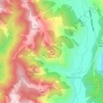
Name: Tarla topographic map, elevation, terrain.
Location: Tarla, Feke, Adana, Mediterranean Region, Turkey (37.87403 35.61601 37.87413 35.61611)
Average elevation: 1,602 m
Minimum elevation: 1,381 m
Maximum elevation: 1,835 m
Thank you for supporting this site ❤️
Make a donation
Make a donation