
Thank you for supporting this site ❤️
Make a donation
Make a donation
Blanford topographic map
Click on the map to display elevation.
Thank you for supporting this site ❤️
Make a donation
Make a donation
About this map
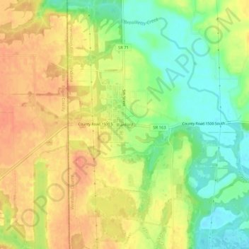
Name: Blanford topographic map, elevation, terrain.
Location: Blanford, Vermillion County, Indiana, 47831, United States (39.64504 -87.54058 39.68504 -87.50058)
Average elevation: 175 m
Minimum elevation: 149 m
Maximum elevation: 196 m
Thank you for supporting this site ❤️
Make a donation
Make a donation
Other topographic maps
Click on a map to view its topography, its elevation and its terrain.