
Thank you for supporting this site ❤️
Make a donation
Make a donation
Walahena topographic map
Click on the map to display elevation.
Thank you for supporting this site ❤️
Make a donation
Make a donation
About this map
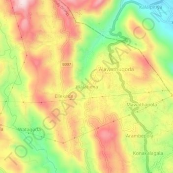
Name: Walahena topographic map, elevation, terrain.
Location: Walahena, Kandy District, Central Province, 20850, Sri Lanka (7.38571 80.58239 7.42571 80.62239)
Average elevation: 580 m
Minimum elevation: 373 m
Maximum elevation: 760 m
Thank you for supporting this site ❤️
Make a donation
Make a donation