
Thank you for supporting this site ❤️
Make a donation
Make a donation
Lutumba topographic map
Click on the map to display elevation.
Thank you for supporting this site ❤️
Make a donation
Make a donation
About this map
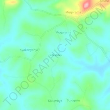
Name: Lutumba topographic map, elevation, terrain.
Location: Lutumba, Kibaale, Western Region, Uganda (0.83000 30.96333 0.87000 31.00333)
Average elevation: 1,225 m
Minimum elevation: 1,184 m
Maximum elevation: 1,360 m
Thank you for supporting this site ❤️
Make a donation
Make a donation