
Thank you for supporting this site ❤️
Make a donation
Make a donation
Macheke topographic map
Click on the map to display elevation.
Thank you for supporting this site ❤️
Make a donation
Make a donation
About this map
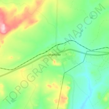
Name: Macheke topographic map, elevation, terrain.
Location: Macheke, Murehwa, Mashonaland East Province, Zimbabwe (-18.18538 31.80714 -18.10538 31.88714)
Average elevation: 1,546 m
Minimum elevation: 1,458 m
Maximum elevation: 1,715 m
Thank you for supporting this site ❤️
Make a donation
Make a donation