
Thank you for supporting this site ❤️
Make a donation
Make a donation
Porthmadog topographic map
Click on the map to display elevation.
Thank you for supporting this site ❤️
Make a donation
Make a donation
About this map
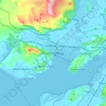
Name: Porthmadog topographic map, elevation, terrain.
Location: Porthmadog, Gwynedd, Wales, LL49 9LR, United Kingdom (52.88560 -4.16969 52.96560 -4.08969)
Average elevation: 43 m
Minimum elevation: -3 m
Maximum elevation: 356 m
Thank you for supporting this site ❤️
Make a donation
Make a donation