
Thank you for supporting this site ❤️
Make a donation
Make a donation
Quinhuaragra topographic map
Click on the map to display elevation.
Thank you for supporting this site ❤️
Make a donation
Make a donation
About this map
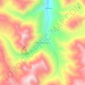
Name: Quinhuaragra topographic map, elevation, terrain.
Location: Quinhuaragra, Mirgas, Antonio Raymondi, Áncash, Perú (-9.18856 -77.15806 -9.14856 -77.11806)
Average elevation: 4,204 m
Minimum elevation: 3,816 m
Maximum elevation: 4,491 m
Thank you for supporting this site ❤️
Make a donation
Make a donation