
Thank you for supporting this site ❤️
Make a donation
Make a donation
Wahlitz topographic map
Click on the map to display elevation.
Thank you for supporting this site ❤️
Make a donation
Make a donation
About this map
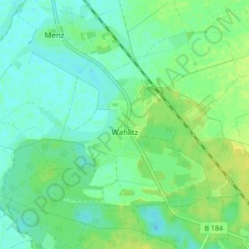
Name: Wahlitz topographic map, elevation, terrain.
Location: Wahlitz, Gommern, Jerichower Land, Sachsen-Anhalt, Deutschland (52.09052 11.74740 52.11897 11.80810)
Average elevation: 50 m
Minimum elevation: 43 m
Maximum elevation: 60 m
Thank you for supporting this site ❤️
Make a donation
Make a donation
Other topographic maps
Click on a map to view its topography, its elevation and its terrain.