
Thank you for supporting this site ❤️
Make a donation
Make a donation
Mandin topographic map
Click on the map to display elevation.
Thank you for supporting this site ❤️
Make a donation
Make a donation
About this map
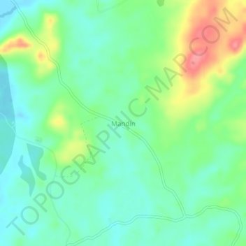
Name: Mandin topographic map, elevation, terrain.
Location: Mandin, Kotabaru, South Kalimantan, Kalimantan, Indonesia (-3.53661 116.34840 -3.49661 116.38840)
Average elevation: 28 m
Minimum elevation: -4 m
Maximum elevation: 85 m
Thank you for supporting this site ❤️
Make a donation
Make a donation