
Thank you for supporting this site ❤️
Make a donation
Make a donation
The Ledge topographic map
Click on the map to display elevation.
Thank you for supporting this site ❤️
Make a donation
Make a donation
About this map
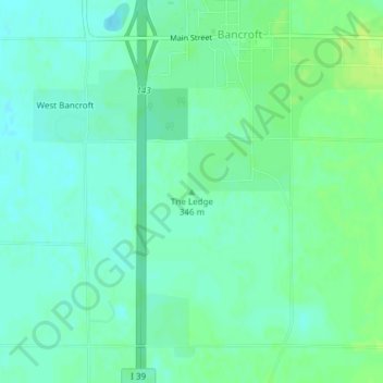
Name: The Ledge topographic map, elevation, terrain.
Average elevation: 332 m
Minimum elevation: 326 m
Maximum elevation: 341 m
Thank you for supporting this site ❤️
Make a donation
Make a donation
Other topographic maps
Click on a map to view its topography, its elevation and its terrain.
Thank you for supporting this site ❤️
Make a donation
Make a donation
Village of Plover
United States > Wisconsin > Portage County > Village of Plover
Average elevation: 330 m