
Thank you for supporting this site ❤️
Make a donation
Make a donation
Jerome topographic map
Click on the map to display elevation.
Thank you for supporting this site ❤️
Make a donation
Make a donation
About this map
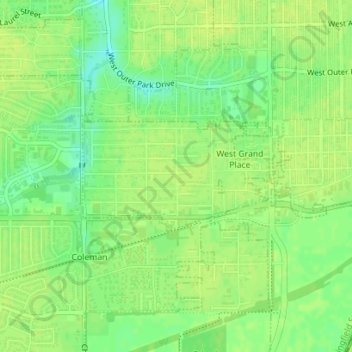
Name: Jerome topographic map, elevation, terrain.
Location: Jerome, Sangamon County, Illinois, United States (39.76310 -89.68693 39.77154 -89.66814)
Average elevation: 185 m
Minimum elevation: 173 m
Maximum elevation: 190 m
Thank you for supporting this site ❤️
Make a donation
Make a donation
Other topographic maps
Click on a map to view its topography, its elevation and its terrain.