
Thank you for supporting this site ❤️
Make a donation
Make a donation
Riegl topographic map
Click on the map to display elevation.
Thank you for supporting this site ❤️
Make a donation
Make a donation
About this map
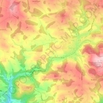
Name: Riegl topographic map, elevation, terrain.
Location: Riegl, Bad Zell, Bezirk Freistadt, 4283, Австрия (48.32821 14.63674 48.36821 14.67674)
Average elevation: 536 m
Minimum elevation: 399 m
Maximum elevation: 625 m
Thank you for supporting this site ❤️
Make a donation
Make a donation