
Thank you for supporting this site ❤️
Make a donation
Make a donation
Saint-Nicolas topographic map
Click on the map to display elevation.
Thank you for supporting this site ❤️
Make a donation
Make a donation
About this map
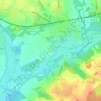
Name: Saint-Nicolas topographic map, elevation, terrain.
Average elevation: 348 m
Minimum elevation: 332 m
Maximum elevation: 374 m
Thank you for supporting this site ❤️
Make a donation
Make a donation
Other topographic maps
Click on a map to view its topography, its elevation and its terrain.
Motte castrale de Montreux-Château
France > Bourgogne-Franche-Comté > Territoire-de-Belfort > Montreux-Château
Average elevation: 352 m