
Thank you for supporting this site ❤️
Make a donation
Make a donation
Samarang topographic map
Click on the map to display elevation.
Thank you for supporting this site ❤️
Make a donation
Make a donation
About this map
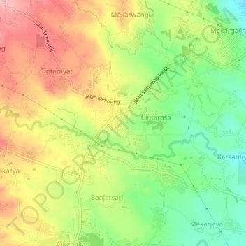
Name: Samarang topographic map, elevation, terrain.
Location: Samarang, Garut, Jawa Barat, Jawa, 44162, Indonésia (-7.24169 107.81949 -7.20169 107.85949)
Average elevation: 916 m
Minimum elevation: 831 m
Maximum elevation: 1,007 m
Thank you for supporting this site ❤️
Make a donation
Make a donation