
Thank you for supporting this site ❤️
Make a donation
Make a donation
Kienberg topographic map
Click on the map to display elevation.
Thank you for supporting this site ❤️
Make a donation
Make a donation
About this map
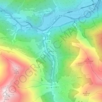
Name: Kienberg topographic map, elevation, terrain.
Location: Kienberg, Kaisers, Bezirk Reutte, Tirol, 6655, Österreich (47.21199 10.27361 47.25199 10.31361)
Average elevation: 1,601 m
Minimum elevation: 1,098 m
Maximum elevation: 2,476 m
Thank you for supporting this site ❤️
Make a donation
Make a donation