
Thank you for supporting this site ❤️
Make a donation
Make a donation
Magtaquing topographic map
Click on the map to display elevation.
Thank you for supporting this site ❤️
Make a donation
Make a donation
About this map
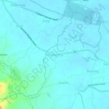
Name: Magtaquing topographic map, elevation, terrain.
Location: Magtaquing, Bugallon, Pangasinan, Ilocos Region, Philippines (15.96546 120.15666 16.00546 120.19666)
Average elevation: 10 m
Minimum elevation: 3 m
Maximum elevation: 62 m
Thank you for supporting this site ❤️
Make a donation
Make a donation