
Thank you for supporting this site ❤️
Make a donation
Make a donation
Liye topographic map
Click on the map to display elevation.
Thank you for supporting this site ❤️
Make a donation
Make a donation
About this map
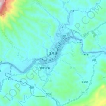
Name: Liye topographic map, elevation, terrain.
Location: Liye, Longshan County, Xiangxi, Hunan, China (28.74647 109.25199 28.82647 109.33199)
Average elevation: 371 m
Minimum elevation: 232 m
Maximum elevation: 1,266 m
Thank you for supporting this site ❤️
Make a donation
Make a donation