
Thank you for supporting this site ❤️
Make a donation
Make a donation
Once topographic map
Click on the map to display elevation.
Thank you for supporting this site ❤️
Make a donation
Make a donation
About this map
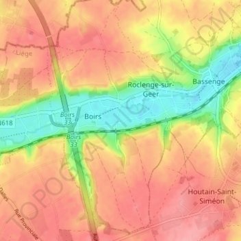
Name: Once topographic map, elevation, terrain.
Location: Once, Boirs, Bassenge, Liège, Wallonie, 4690, Belgique (50.73185 5.56625 50.77185 5.60625)
Average elevation: 125 m
Minimum elevation: 71 m
Maximum elevation: 159 m
Thank you for supporting this site ❤️
Make a donation
Make a donation