
Thank you for supporting this site ❤️
Make a donation
Make a donation
Oberzella topographic map
Click on the map to display elevation.
Thank you for supporting this site ❤️
Make a donation
Make a donation
Oberzella
Östlich des Ortes markiert der bewaldete Berg Hohe Wart die Gemarkungsgrenze und bildet zugleich die höchste Erhebung, seine Höhe beträgt 400,9 m ü. NN. Die geographische Höhe des Ortes beträgt 240 m ü. NN.
Thank you for supporting this site ❤️
Make a donation
Make a donation
About this map
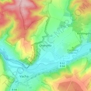
Name: Oberzella topographic map, elevation, terrain.
Location: Oberzella, Vacha, Wartburgkreis, Thüringen, 36404, Deutschland (50.82087 10.01629 50.86087 10.05629)
Average elevation: 296 m
Minimum elevation: 215 m
Maximum elevation: 430 m
Thank you for supporting this site ❤️
Make a donation
Make a donation