
Thank you for supporting this site ❤️
Make a donation
Make a donation
Gundoj topographic map
Click on the map to display elevation.
Thank you for supporting this site ❤️
Make a donation
Make a donation
About this map
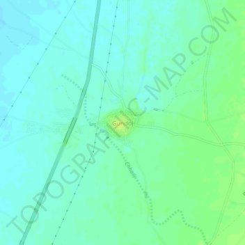
Name: Gundoj topographic map, elevation, terrain.
Location: Gundoj, Pali Tehsil, Pali, Rajasthan, India (25.58798 73.29132 25.62798 73.33132)
Average elevation: 232 m
Minimum elevation: 226 m
Maximum elevation: 240 m
Thank you for supporting this site ❤️
Make a donation
Make a donation
Other topographic maps
Click on a map to view its topography, its elevation and its terrain.