
Thank you for supporting this site ❤️
Make a donation
Make a donation
New Halfa topographic map
Click on the map to display elevation.
Thank you for supporting this site ❤️
Make a donation
Make a donation
About this map
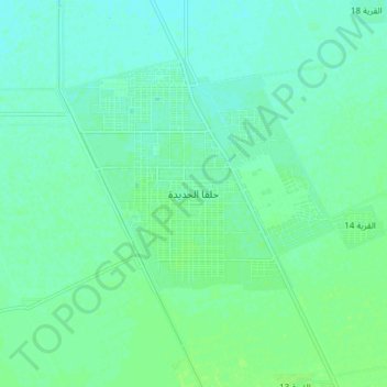
Name: New Halfa topographic map, elevation, terrain.
Location: New Halfa, Nahr Atbara, Kassala State, Sudan (15.28025 35.56379 15.36025 35.64379)
Average elevation: 452 m
Minimum elevation: 448 m
Maximum elevation: 457 m
Thank you for supporting this site ❤️
Make a donation
Make a donation