
Make a donation
Tunguska event topographic map
Click on the map to display elevation.
Make a donation
Tunguska event
The Tunguska event was a large explosion of between 3 and 50 megatons that occurred near the Podkamennaya Tunguska River in Yeniseysk Governorate (now Krasnoyarsk Krai), Russia, on the morning of 30 June 1908. The explosion over the sparsely populated East Siberian taiga felled a large number of trees, over an area of 2,150 km2 (830 sq mi) of forest, and eyewitness accounts suggest up to three people may have died. The explosion is attributed to a meteor air burst, the atmospheric explosion of a stony asteroid about 50–60 metres (160–200 feet) wide. The asteroid approached from the east-south-east, probably with a relatively high speed of about 27 km/s; 98,004 km/h (Mach 80). Though the incident is classified as an impact event, the object is thought to have exploded at an altitude of 5 to 10 kilometres (3 to 6 miles) rather than hitting the Earth's surface, leaving no impact crater.
Make a donation
About this map
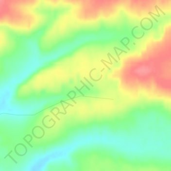
Name: Tunguska event topographic map, elevation, terrain.
Average elevation: 333 m
Minimum elevation: 298 m
Maximum elevation: 374 m
Make a donation
Other topographic maps
Click on a map to view its topography, its elevation and its terrain.