
Koningshof topographic map
Interactive map
Click on the map to display elevation.
About this map
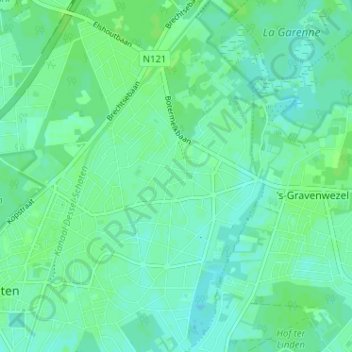
Name: Koningshof topographic map, elevation, terrain.
Location: Koningshof, Schoten, Antwerpen, Vlaanderen, 2970, België (51.24466 4.51081 51.28466 4.55081)
Average elevation: 10 m
Minimum elevation: 6 m
Maximum elevation: 13 m
Other topographic maps
Click on a map to view its topography, its elevation and its terrain.