
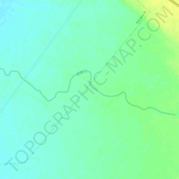
额敏河 topographic map
Interactive map
Click on the map to display elevation.
About this map
Name: 额敏河 topographic map, elevation, terrain.
Location: 额敏河, 地区种牛场, Tacheng, 塔城地区, Xinjiang, Chine (46.47309 83.29673 46.48286 83.34686)
Average elevation: 450 m
Minimum elevation: 443 m
Maximum elevation: 461 m